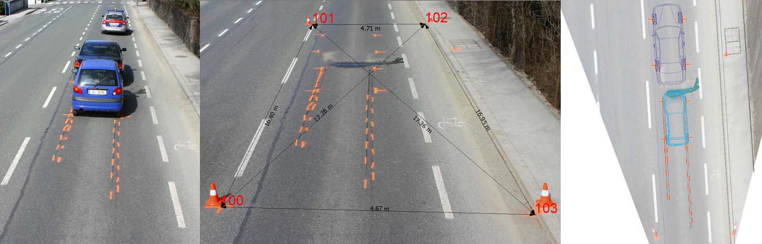
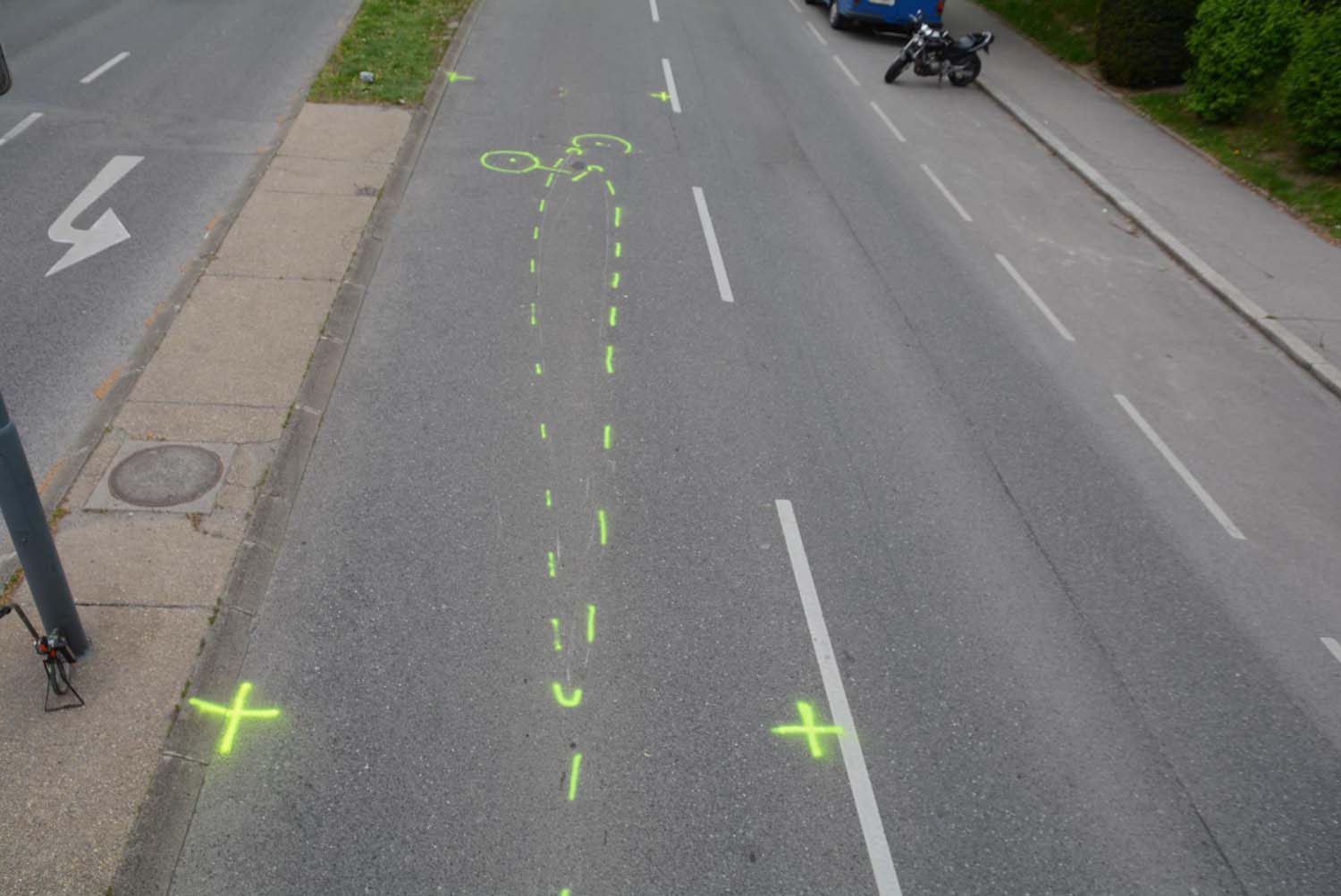
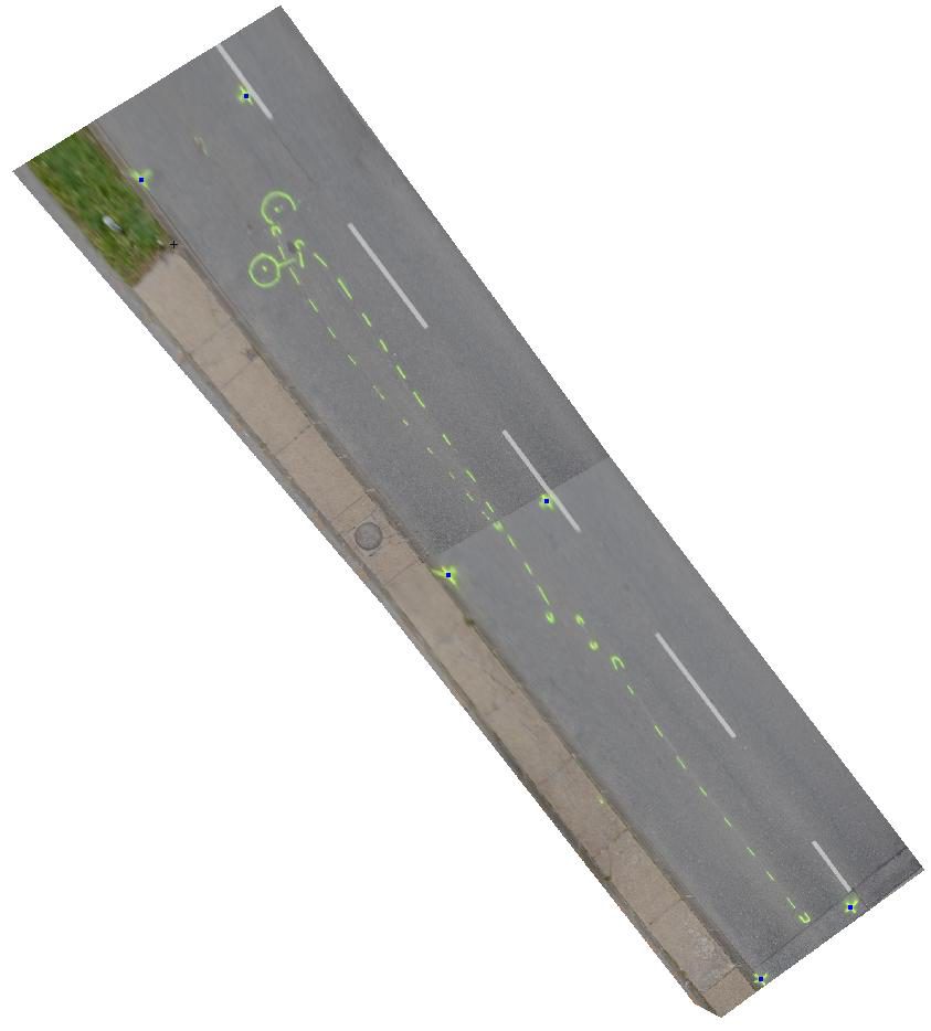
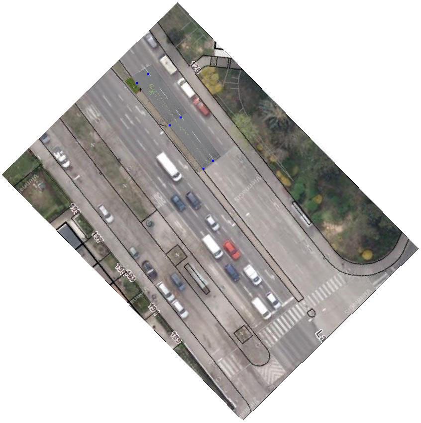
Recording
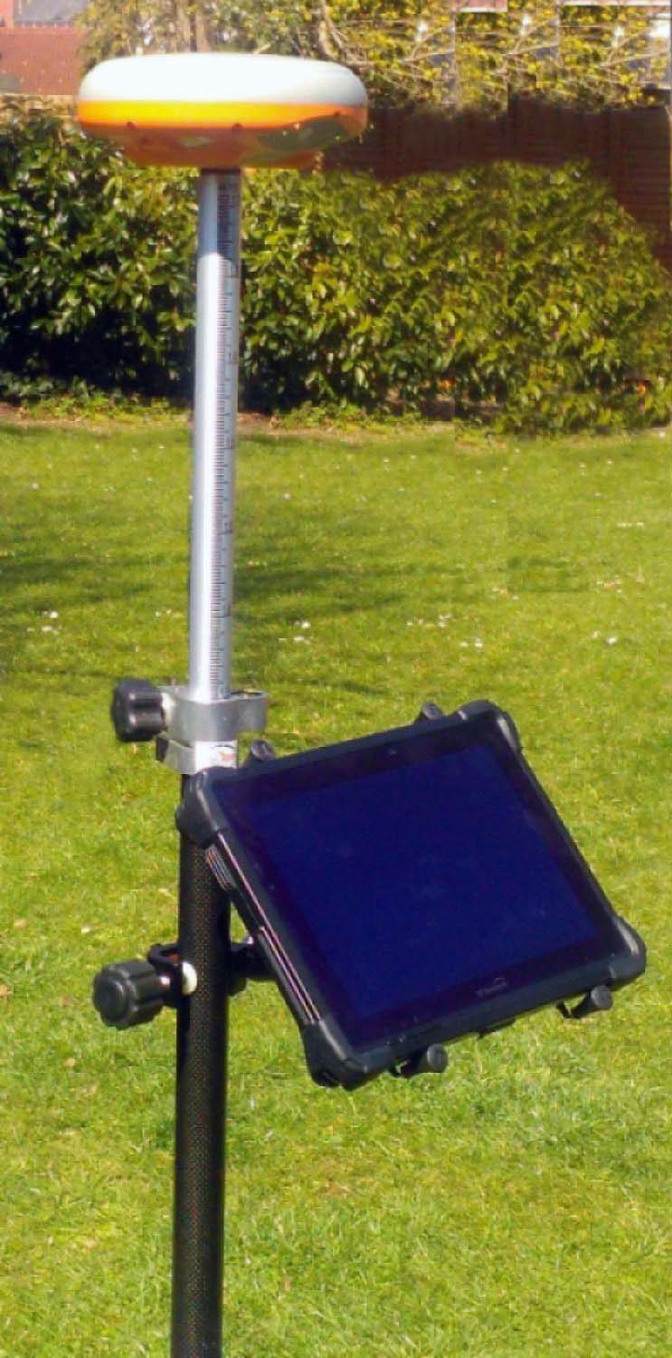
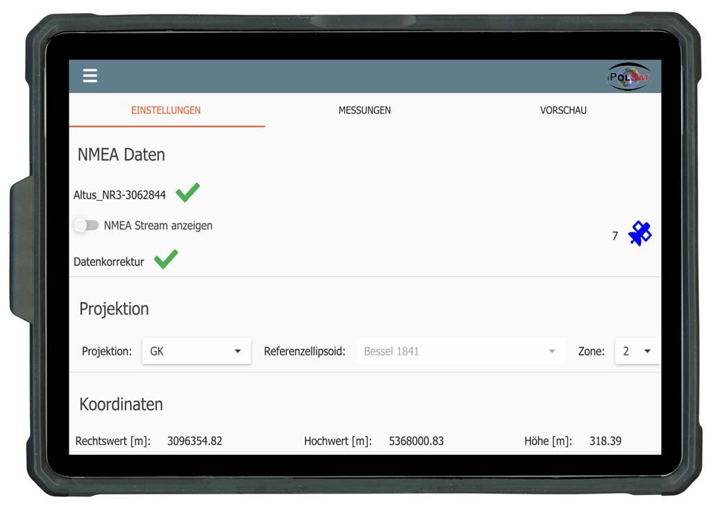
- GNSS measurement system (integrated via NMEA protocol or via external software)
- Tachymeter / theodolite
- Tape measure / measuring wheel
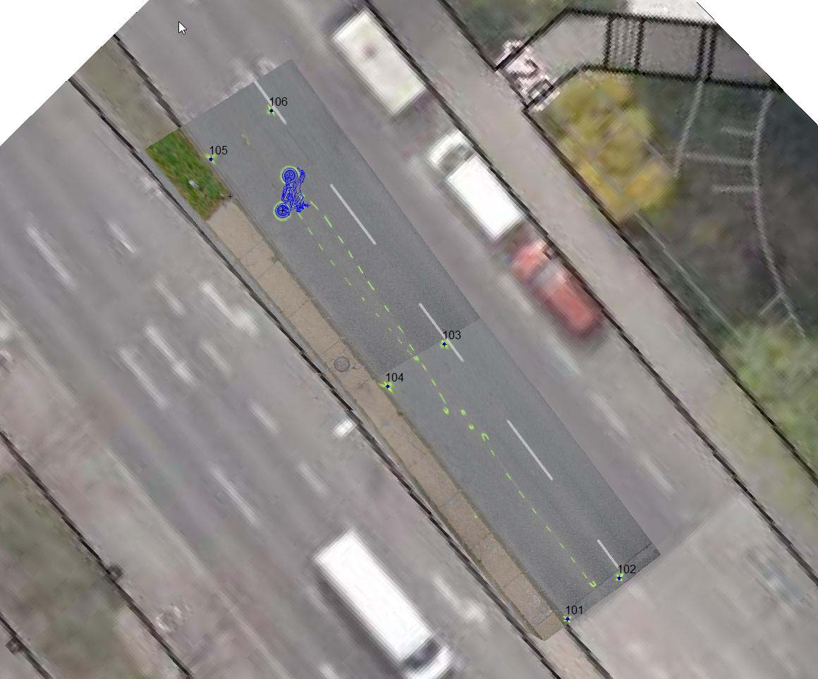
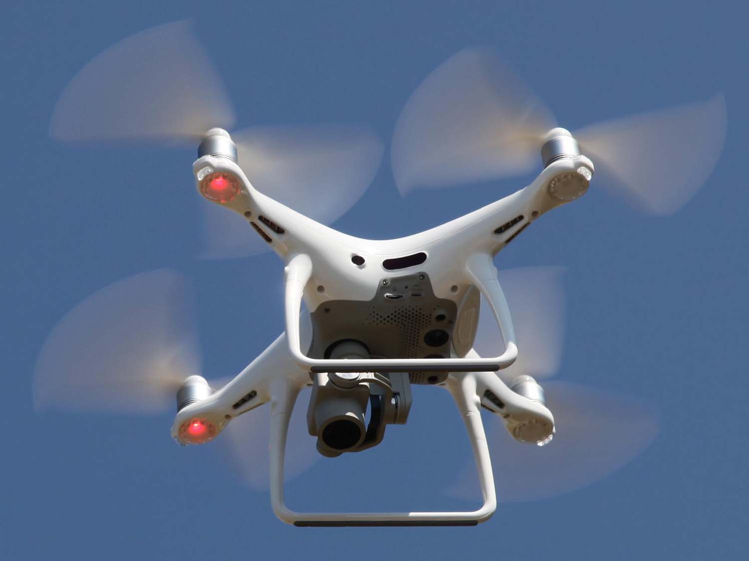
- Photos from digital camera, tablet, smartphone, drone, etc.
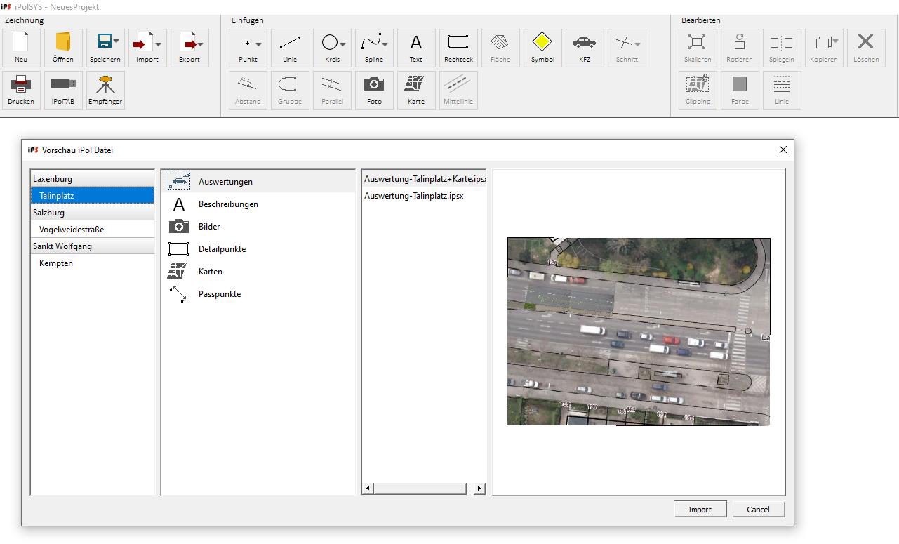
- Import of digital maps (vector or pixel graphics)